Geography Of Crete
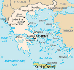
With an area of 8,336 square kilometres Crete is the largest of all the Greek Islands and the fifth largest island in the Mediterranean. It is approximately 260 Km long by 56 Km at its widest point, which narrows to 12 Km in the East of the island near Ierapetra.
The island is broken up into four regions, or prefectures, which from the West to the East are ;
Chania
Rethymnon
Heraklion
Lasithi
It is a mountainous island with three separate mountain chains that divide the North and South along its spine. The highest point on Crete is Mount Ida, also known as Psiloritis (Greek for 'High Mountain') at 2,456m (8,058 ft) above sea level. The mountains are covered in snow during the Winter and Spring months and provide a stunning backdrop to the island.
Learn more about the island by looking at each region from the images below.
CLICK ON THE IMAGES TO LEARN MORE ABOUT EACH REGION
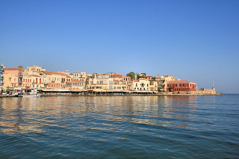
Chania Prefecture
|
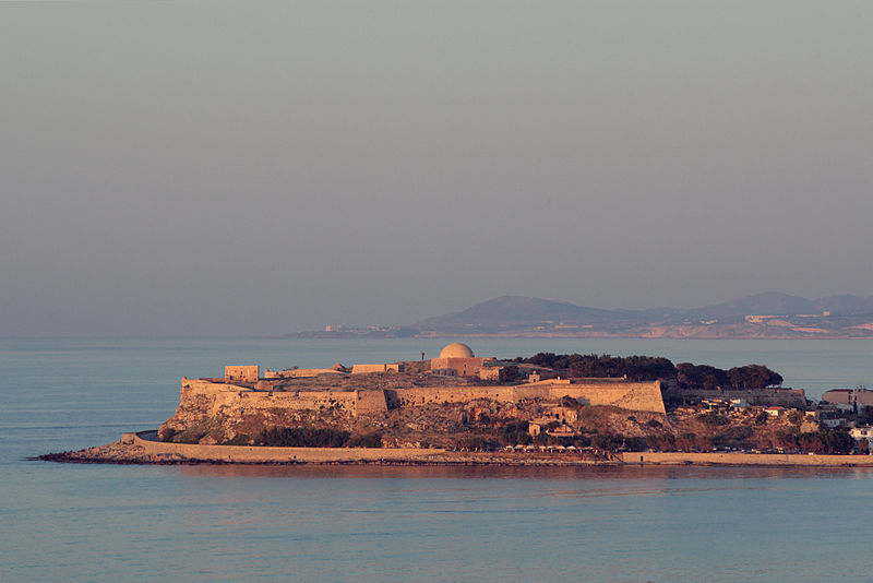
Rethymno Prefecture
|
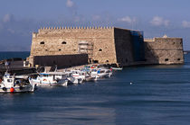
Heraklion Prefecture
|
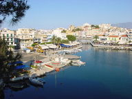
Lasithi Prefecture
|

Website Design By
